
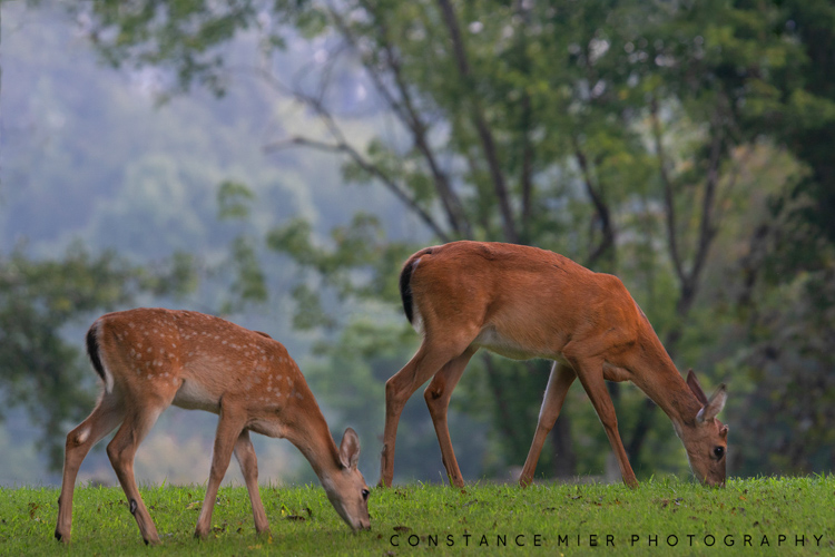
For family, our travels always include Indianapolis; so once again like many times before, we drove from Indiana to Florida’s panhandle by way of Tennessee and Alabama. This time, we took our time heading south and meandered off the beaten path so to speak. With no cities in our way, the next few weeks were nothing but waterfalls, canyons and lakes, oh my!


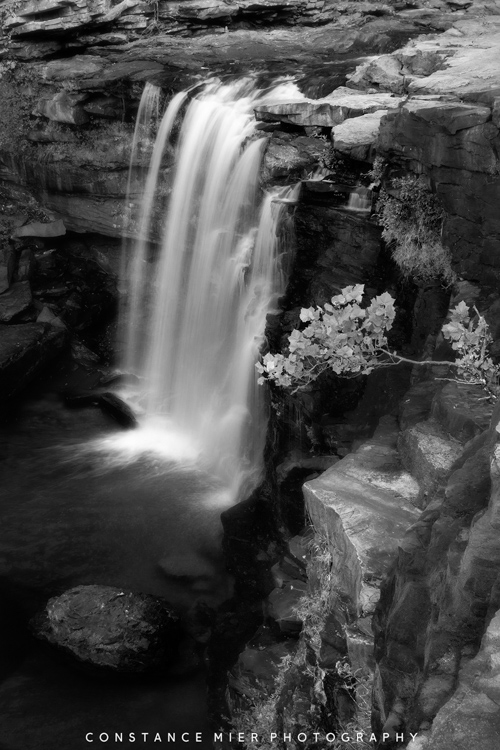
In Tennessee, we camped on reservoirs and while Vivian fished from our campgrounds, I drove to Burgess Falls State Park one morning. Before 7 am, I waited in the truck outside the closed park gate until someone came to open it. Finally, a ranger opened the gate, and other than him, I was the only person in the park. I walked the short distance down to the water from the parking lot. Since traveling, waterfalls have eluded me, and most of them have presented themselves as nothing more than a trickle. But not today.
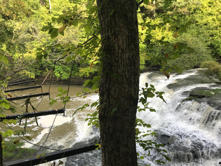
At last, my tripod stood on rugged rocks being swept by gravity-driven water. Today, I had exuberant water and I was alone in my own private Tennessee paradise (at least for a short time before other visitors showed up).

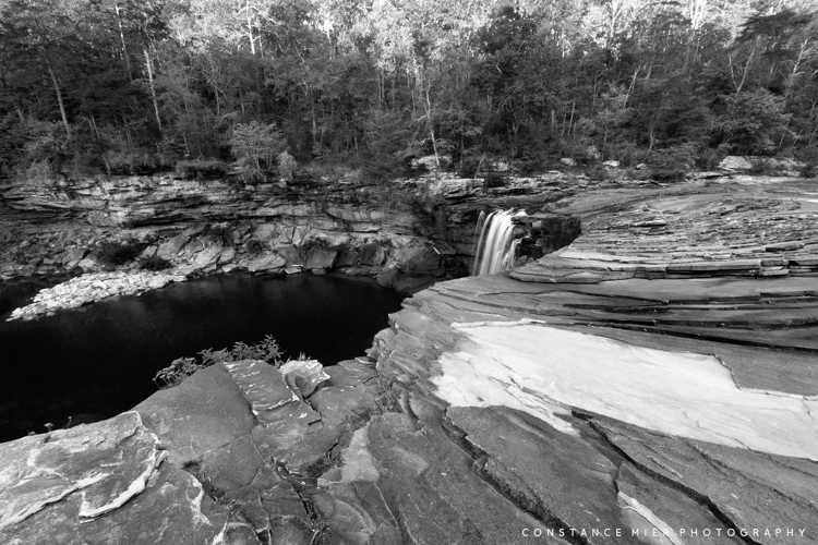
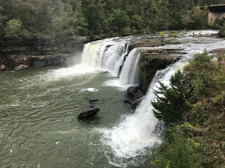
Further south, we spent a couple weeks in Alabama. We have become very familiar with Alabama as it is conveniently located next to Florida and quite difficult to avoid on our travels north or west. And each time we come here, it surprises us – this time with its deep canyons, grand overlooks and yes, waterfalls. The southern Appalachian Mountains come into northeast Alabama with canyon rims, bluffs and sandstone cliffs, and gorges carved by the Little River.


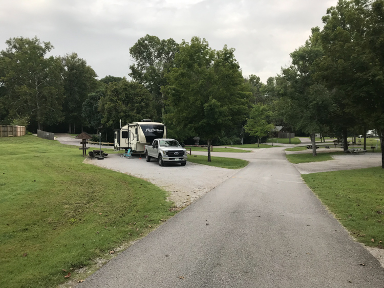
Little River Canyon (a National Preserve since 1992) is one of the deepest canyon systems east of Mississippi River and the deepest in Alabama. While staying at a campground in Fort Payne for one week, we had time to explore the area. Lots of hikes, photography atop a waterfall, and lunch at a quirky mountain town called Mentone.
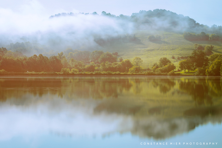
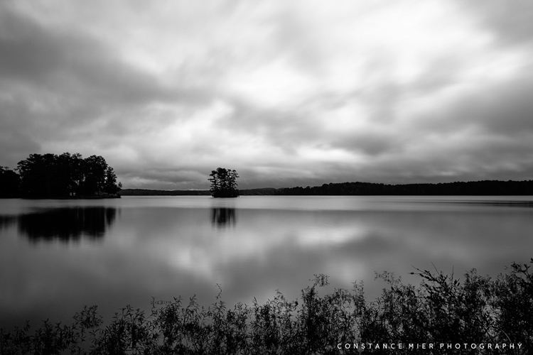
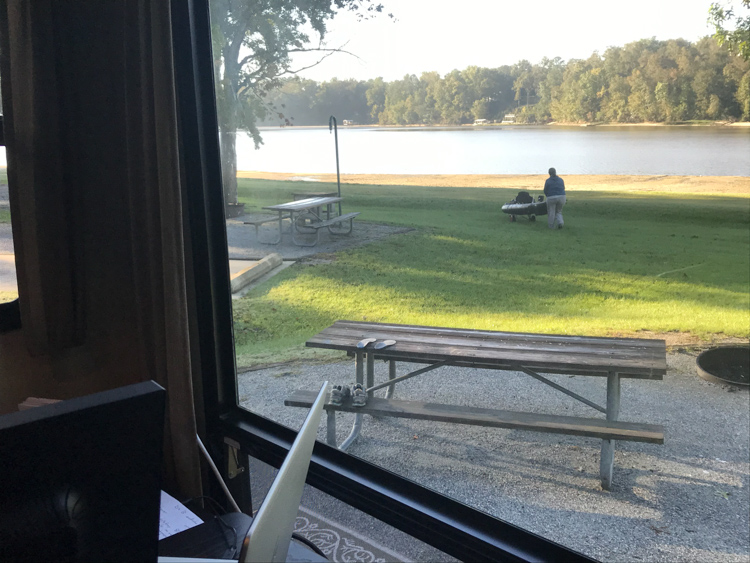
Heading further south, we come out of the mountains and the rolling terrain becomes less rugged and more gentle. We were getting closer to the gulf coast and Florida, and temperatures were increasing. On our way down, we stopped at Wind Creek State Park, one of the largest state parks in the United States and where people can access Lake Martin.

Following Wind Creek, We headed south and stayed near the town of Eufaula with its southern hospitality and historic plantation homes. We were in the deep south, the antithesis of the badlands where we spent much of our travels this summer. Which makes it even more ironic that while staying in southern Alabama, I was able to explore a canyon. A very strange and quirky canyon.
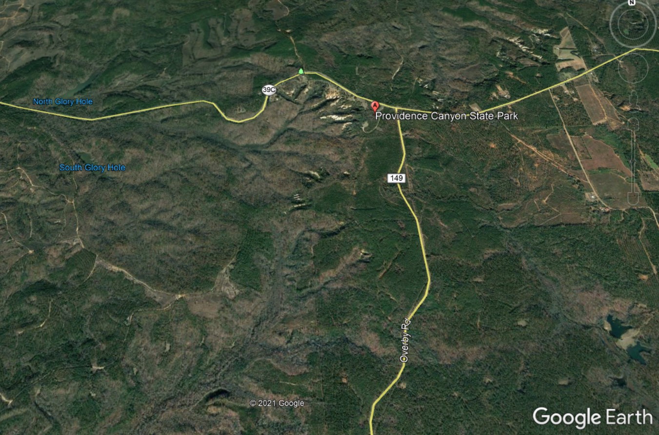
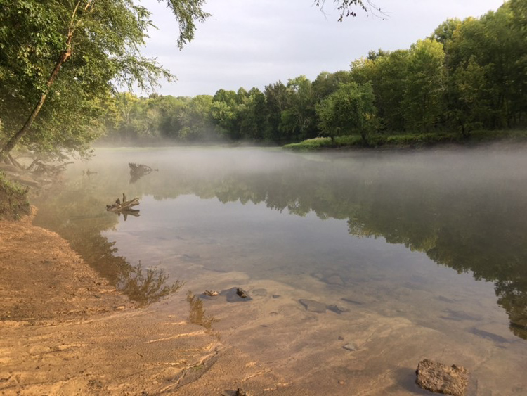
Eufaula is on the Walter F George Reservoir, a large vertical expanse of water that is split down the middle by the Alabama-Georgia state line. As the early morning sun rose, I drove across a bridge from Eufaula on highway 82 into Georgia and headed north about 16 miles to Providence Canyon State Park. The drive there took me through rolling hills of forests and farmlands, nothing special for these parts.
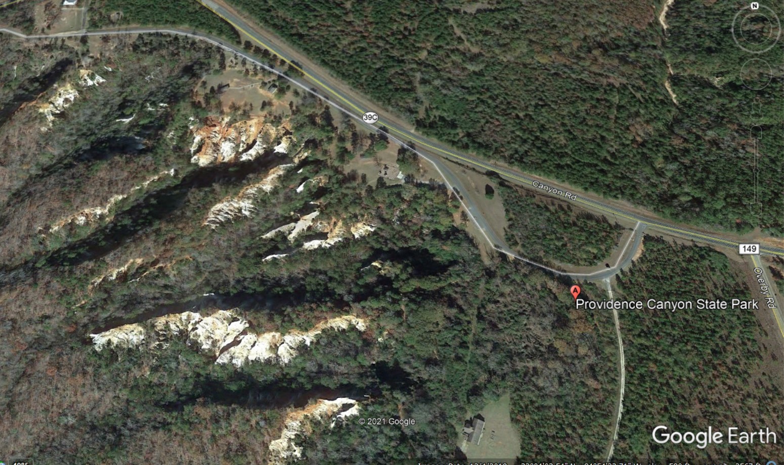
As I got closer to the park, I had thoughts of our visit to Badlands National Park in South Dakota a couple months earlier where we drove through the flattest country for hundreds of miles before all of a sudden, like being tele-transported to another planet, we were surrounded by extremely tall and very strange rock formations. Likewise, once inside Providence Canyon, you feel you are in another world, certainly not southern Georgia.

But yet, there it is. But this time, unlike the badlands we visited this summer, Providence Canyon or ‘Georgia’s Little Grand Canyon’ is manmade, which makes it even more peculiar. Apparently, Georgia recognizes its Natural Wonders and considers this one to be one of its seven. The canyon was created by erosion after years of poor agricultural practices during the 1800s (I suppose that’s natural considering man is part of nature).
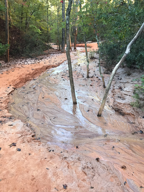
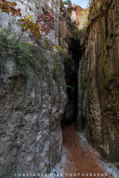
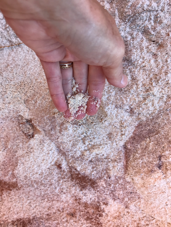
The erosion created several gullies as deep as 150 feet and you can climb down and wander around many of them. As you walk the gullies, you are surrounded by very tall and colorful canyons comprised of pink, orange, red and purple hues. The clay and sand soil appears fragile, like a sandcastle on the beach. The rare plumleaf azalea grows here as well. All this makes Providence Canyon a strange and beautiful thing, thanks to farming gone bad.

Out 2020 travels included many places that are not only far removed from our southern Florida ecosystem, but so broadly varied from each other. Although we traveled far and wide to see some of these strange lands, it is remarkable that so many of them border right up to Florida. The United States is diverse in many ways and to explore it by RV is a wonderful thing. And yet, as we leave Alabama and cross the Florida line, I begin to think of how I could spend a lifetime simply exploring this state. Well over 500 miles lay ahead of us before we settled down for in Chokoloskee for our winter hibernation. So, we spent a little time near the Ocala National Forest to do some exploring. Stayed tuned for our final 2020-travels blog coming soon.


We were at many of these places (but for some reason my pictures don’t look like yours)! Thanks for recommending Providence Canyon, we really enjoyed the scenery there.
LikeLike